
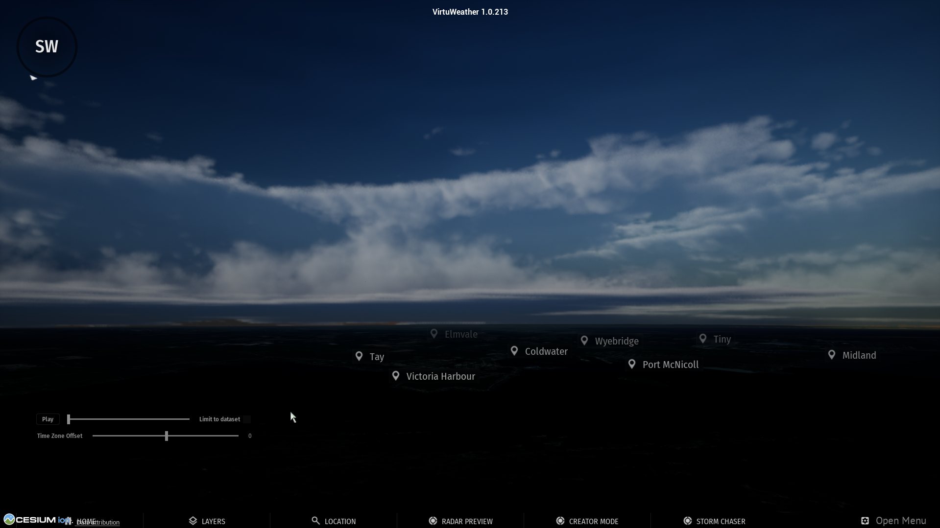
Understanding severe weather through awe-inspiring realism.
You've watched storms your whole life. On a flat map.
The biggest storm of the year fires three states away, and everything you have shows the same thing: a coloured blob crawling across a county line. Radar apps show the data. Chase streams show someone else's windscreen. You're never there.
"Oh my god. That would be so Amazing! Especially if you live far far away." @StormchaserKST — replying to our first storm render, 2023
That's the whole idea. The storm that's happening right now, from wherever you are.
Live radar in. A storm you can stand in, out.
The atmosphere, measured
Live radar sweeps stream in as storms develop: NEXRAD and Environment Canada across North America, and the Deutscher Wetterdienst in Germany.
Rendered in three dimensions
Radar becomes volume: height, structure, motion. The cell on the map becomes a wall of cloud in front of you.
You're inside it
Move through the storm as it happens. Get in position, frame the moment, bring back the shot.
Two ways to play
Get the intercept right.
Drive a chase vehicle into real historical storms. Each episode opens with a briefing: your assignment, your kit, the map. Then it's you, the road and the clock. Spot the wall cloud, deploy instrument pods in the storm's path, film the tornado and get the data home. The first three: The Moore Intercept, The Doppler Run and Ground Truth.
Today's weather, on the globe.
Follow live radar and satellite cloud on the globe and move through whatever is happening right now. No mission, no pre-placed tornado: just the weather as it is.
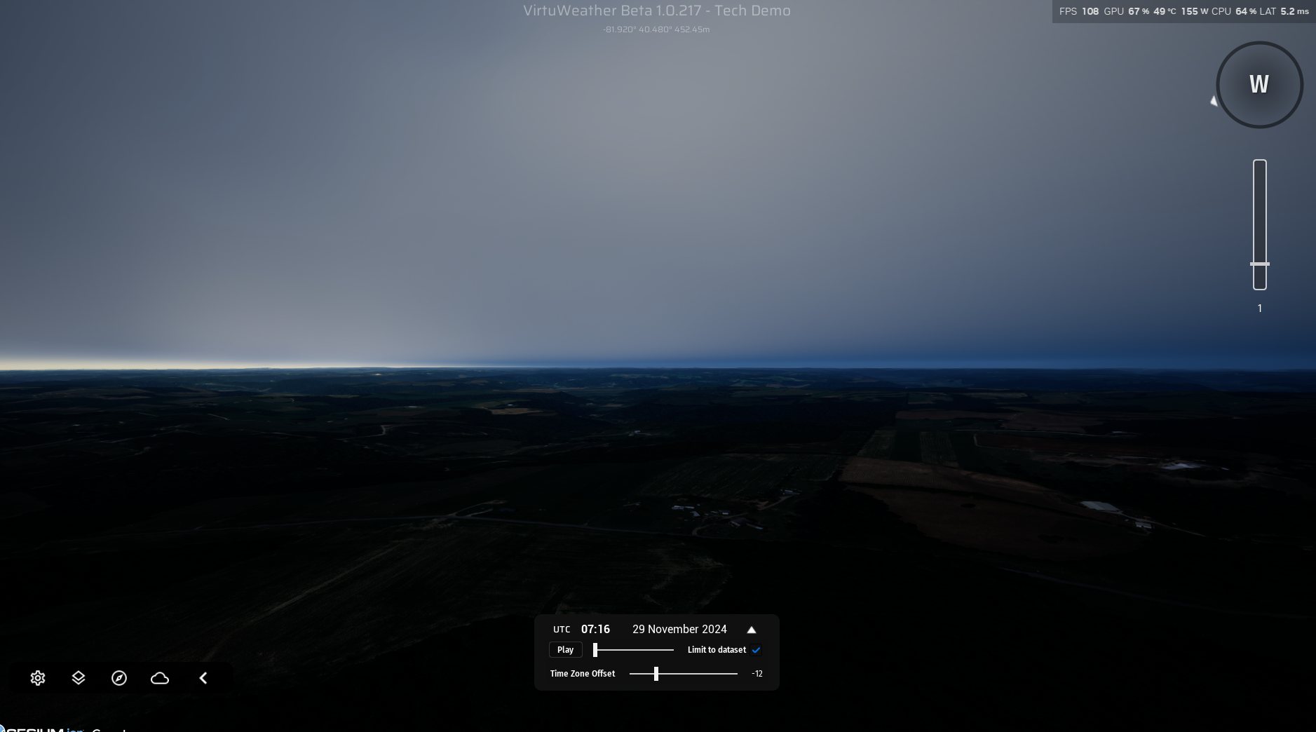
Broadcasters run the same engine live on air.
The engine you'll play is the engine severe-weather broadcasts run live to 40,000+ concurrent viewers. Every frame you'll see is from the product, rendering real events — nothing staged, nothing stock.
Open the storm deskQuestions people actually ask
Is the weather actually real?
Yes. The live sandbox renders current radar from NEXRAD (US), Environment Canada and Germany's Deutscher Wetterdienst. Episodes re-render past storms from the radar that recorded them. Nothing is procedurally invented.
Where does it work?
Live storms across North America and Germany, wherever weather radar reaches; more of Europe is coming. Other regions depend on radar data access and aren't promised yet.
Will it run on my machine?
During the beta, Storm Chaser runs in your web browser, so there's nothing to install. In our testing:
- Mid-range PC: an NVIDIA RTX 3060 runs it at around 120 fps on Medium to High.
- Mac: a MacBook Pro with M4 runs it at up to 144 fps.
Use the latest Chrome or Edge, or Safari on Mac, with a keyboard or a gamepad. Touch controls for tablets are coming. If it doesn't run well on your machine, you get a refund.
When, and how much?
Early access opens in December 2026, priced like an early-access game — final price is set before early access opens. Waitlist members hear first and get the founding-cohort invitation. The closed alpha running now is free, by invitation.
Built by storm chasers, for storm chasers.
VirtuWeather wasn't a market opportunity someone spotted. It came out of years of live severe-weather broadcasting, and one question that wouldn't go away:
"Want to virtually chase #tornadoes & #severe #weather in real-time based on radar, satellite & spotter reports? We're working on it!" Adam Skinner — the post that started it, 2023
The replies said everything. People wanted in — especially the ones who live far from the storms they love. We've been building toward that ever since: first on a game engine, now on a stack built for exactly this, with the same goal the whole way. Put people inside the real atmosphere.
Our mission: We turn the real atmosphere into a place anyone can go, and what people capture there into a shared record of what actually happened, for players and for broadcasters.
Every storm here is built from open data.
These are the sources, what each one gives the page, and the credit it asks for.
Live storms where the storms on this page come from
- US National Weather ServiceActive tornado, severe thunderstorm and flash flood warnings - the live storms on the desk.US government, public domain
- NOAA NEXRAD radarThe Level II radar volumes every US storm is rebuilt from, scan by scan.NOAA open data
- EUMETNET OPERA radarEurope's radar composite, which finds the storm cells, and the single-radar volumes they are rebuilt from.EUMETNET Open Radar Data
- Environment and Climate Change CanadaCanadian weather radar.Open Government Licence - Canada
- Deutscher WetterdienstGerman storm warnings and radar.DWD open data
- Bureau of MeteorologyAustralian radar, replayed the day after a storm.CC BY 4.0, Bureau of Meteorology
Forecasts what is coming
- NOAA Storm Prediction CenterConvective outlooks - the severe storm risk areas under What is coming.US government, public domain
Ground and terrain what every storm stands on
- USGS imageryAerial imagery under US storms, about a metre per pixel.US government, public domain
- LDBV Bavaria DOP2020 cm aerial imagery under Bavarian storms.CC BY 4.0, Bayerische Vermessungsverwaltung
- Sentinel-2 cloudless by EOXSatellite imagery under storms everywhere else.EOX IT Services GmbH, contains modified Copernicus Sentinel data, CC BY-NC-SA 4.0
- Cesium terrainThe ground's height under every storm.via Re:Earth
- Natural EarthThe country outlines on the storm maps.public domain
- Esri World Dark Gray basemapThe dark world map the live storms are pinned on.Esri, HERE, Garmin, OpenStreetMap contributors
Three founders
Adam Skinner
Weather broadcaster and founder of Instant Weather, the community-driven severe weather service. The meteorology, the community, and the reason the storms in here look right to people who watch storms for a living.
Aiden Soedjarwo
Founder of Star Matrix, the applied-AI research company behind Metaplanets, OpenNado tornado detection, and SkyStation. The engineering: radar ingestion, volumetric rendering, and the pipeline that turns a live sweep into a storm you can stand in.
Geoff Osborn
Founder of GeoSynergy. 25 years of geospatial and simulation in the natural resource industry.
Be first in the storm.
Waitlist members hear first: beta invitations from October, the founding-cohort offer, and one email when a real event worth watching goes up. No noise.
One or two emails a month during the beta. Unsubscribe any time. Or email help@virtuweather.com and we will add you.